
Plateau
Karagiye Trench
This 132 m (433 ft) deep trench is one of the many amazing sites of Mangystau Province.
Visit Duration
1 hour
Route cost
Location
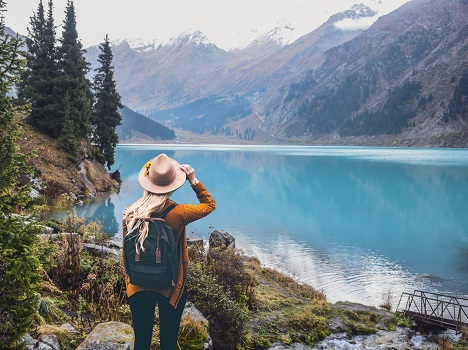
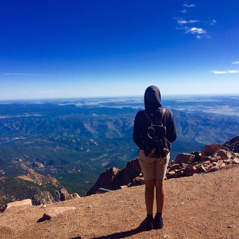
Mangystau province
Karagiye Trench
This 132 m (433 ft) deep trench is one of the many amazing sites of Mangystau Province.
Karagiye is the deepest trench in the post-Soviet territory, located 50 kilometers (31 mi) away from the city of Aktau in Mangystau Province. Translated from Kazakh its name means “The Black Slope.” The locals sometimes call the trench “Batyr,” which translates to “Warrior.” This bowl-shaped hollow appeared after the collapse of the soil’s upper layers. Oddly enough, rain clouds frequently form here. From May to September, when the air temperature reaches maximum levels, hot air rises from the bottom of the trench, condensing in the upper atmosphere and forming rain clouds. This area is home to caracals, manuli, monitor lizards, scorpions, and two-colored larks.
Useful tips for 2020-2021
How to get there
If Aktau is the starting point of your trip to Karagiye then follow the Aktau-Janaozen road, which runs right through its bottom area. Feel free to stop and explore the variety of destinations nearby. For example, Lake Batyr, the water level of which varies depending on the season, is located nearby. For a better experience we recommend that you contact a travel agency and book a tour.
Food and accommodation
When traveling around Mangystau, it is best to have everything you may need with you. Be sure to stock up on water, food, and gas. There are only cafes and hotels in the cities of Aktau and Janaozen, but if you are going on a multi-day trip, then be ready to spend the night in a tent camp.